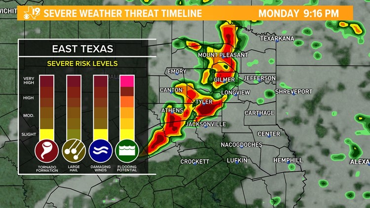
Meteorological Spring started on March 1st. It's the time of year when meteorologists see an uptick in stormy weather, especially for regions like East Texas.
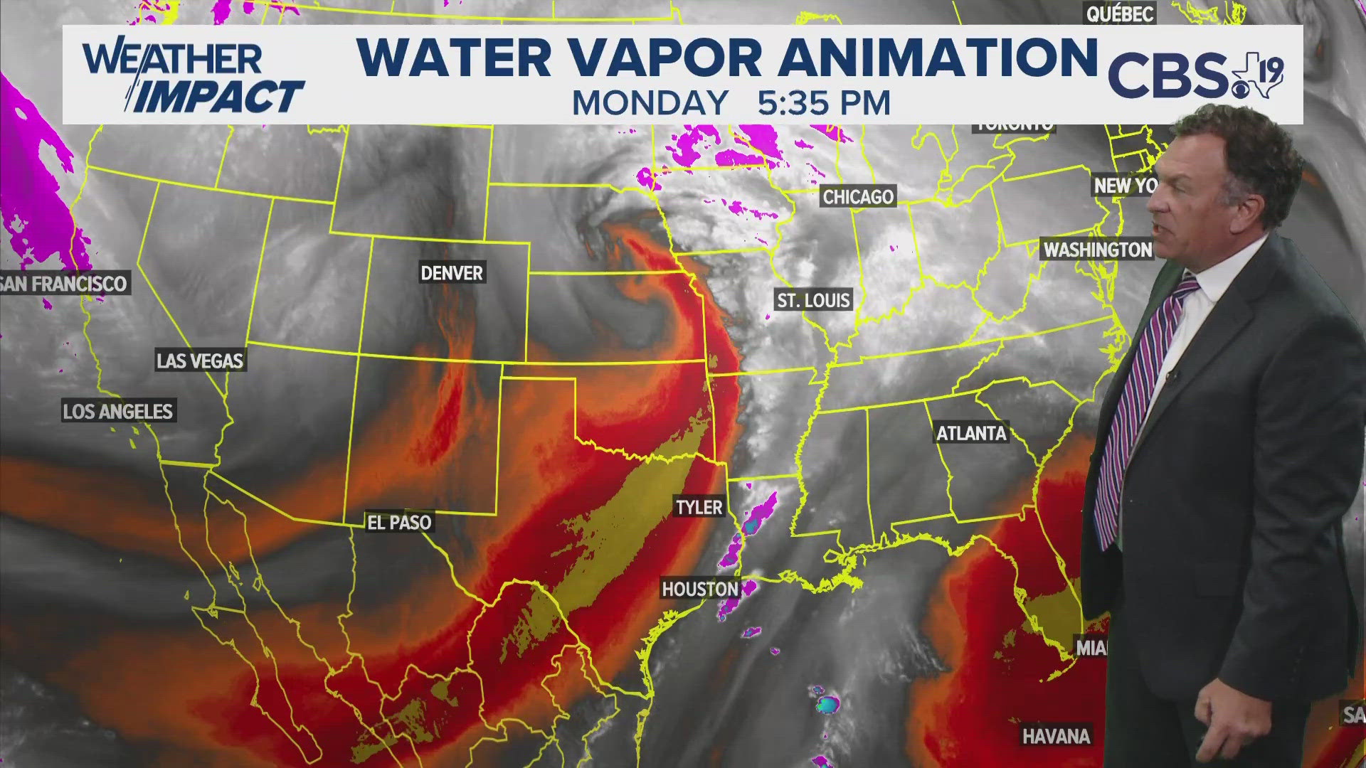
Our Monday night will offer up the first threat for strong to severe storms of the season thanks to an influx of moisture from the Gulf with Southerly winds. This will allow temperatures to warm into the lower 70s by Monday afternoon.
In addition to that, we have strong upper level winds about 5,000 ft from the surface. This will increase the potential for strong wind gusts flowing down to the surface and, since surface winds will also be breezy, we could see some rotation within a line of storms swiping across the Pineywoods tonight.
The largest threats on our radar would be:
- Gusty winds up to 65 mph
- Quarter to golf ball sized hail
- A brief or isolated tornado
- and, flooding in areas that receive heavy downpours.
Localized areas could receive anywhere from a little less than an inch to an inch and a half of rainfall by Tuesday morning.
Please make sure you have MORE THAN ONE WAY to get your severe weather information. You can download the CBS19 weather app on any smart device and use a NOAA all hazards weather radio as a second option.
We will also use our radio partners to cut in in the event of severe weather.


