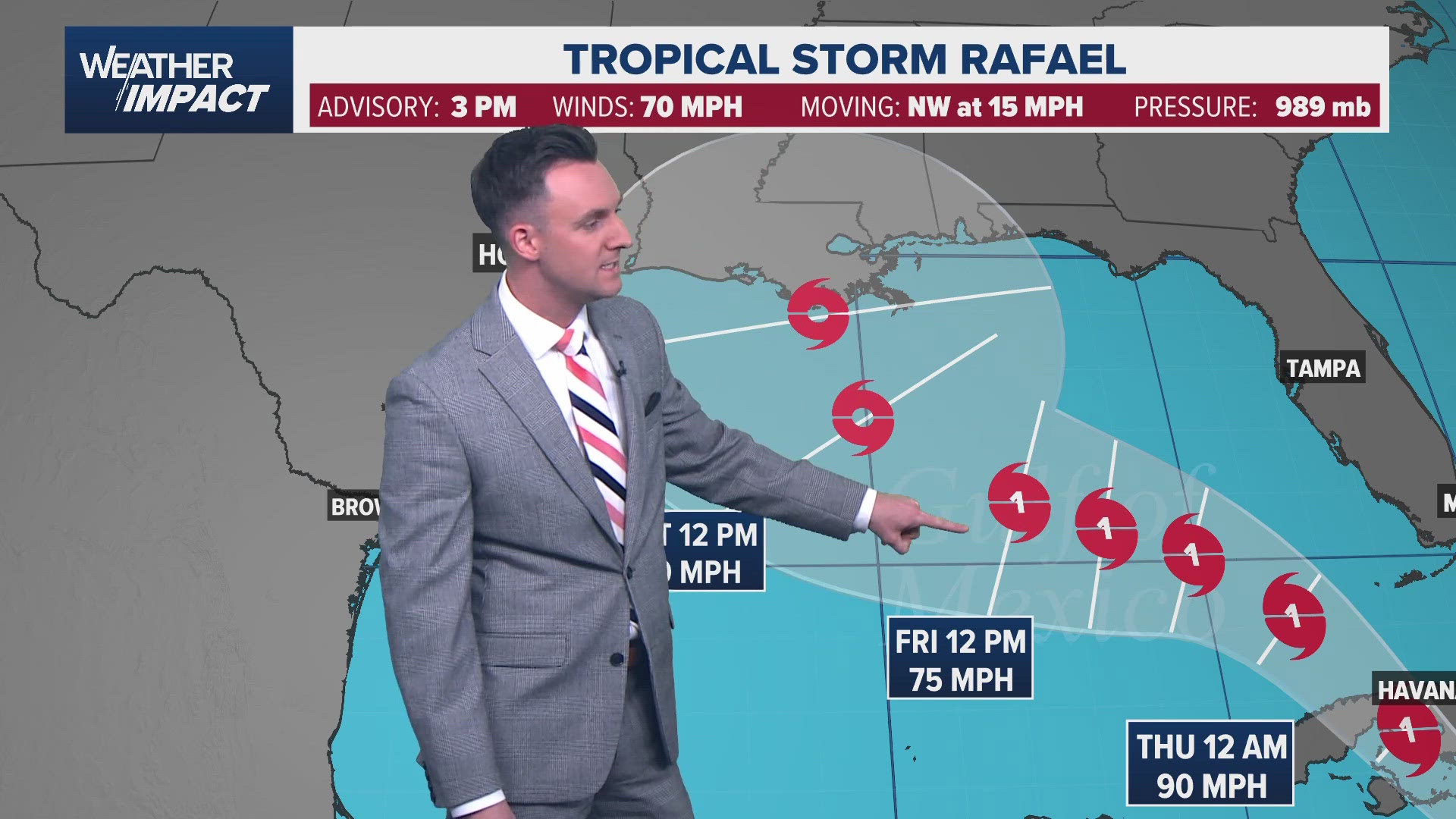
HOUSTON — The KHOU 11 Weather Team is keeping a close eye on what is now Hurricane Rafael in the Caribbean.
The storm became a tropical depression Monday morning before strengthening into a tropical storm.
As of the 7pm Tuesday National Hurricane Center update, Hurricane Rafael was moving northwest at about 15 mph. Maximum winds were sustained at 75 mph. The storm is expected to move into the Gulf of Mexico later in the week.

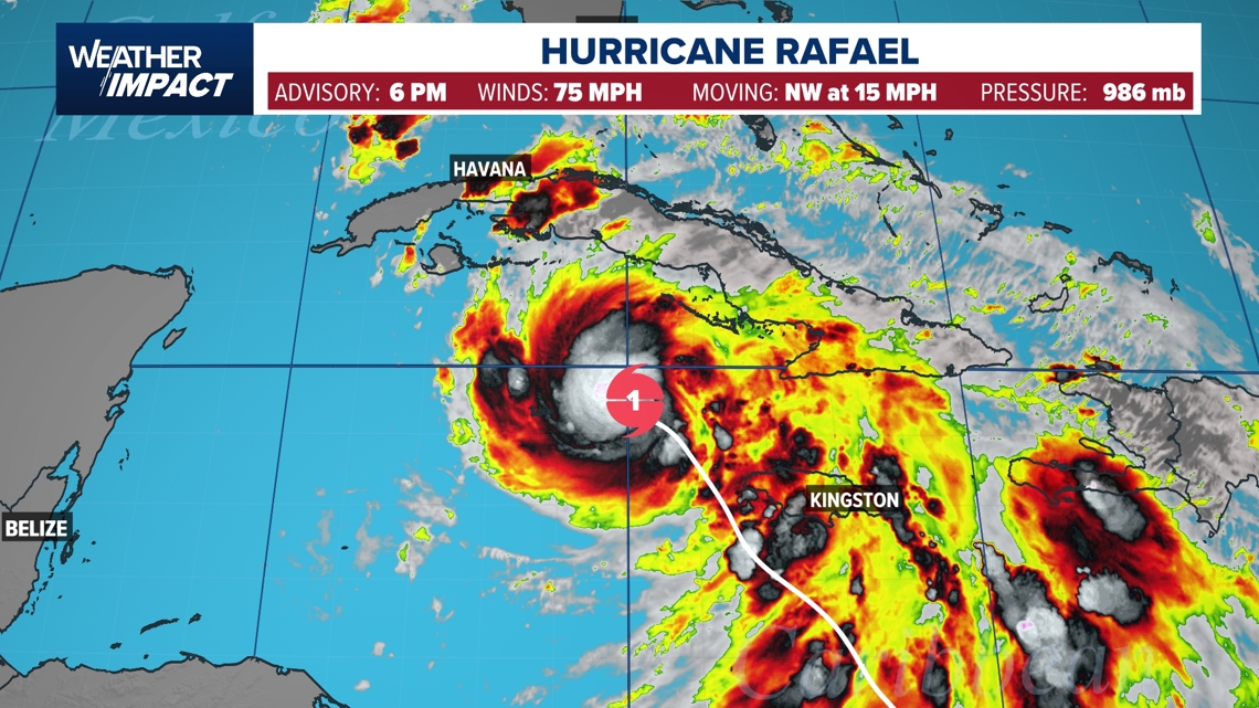
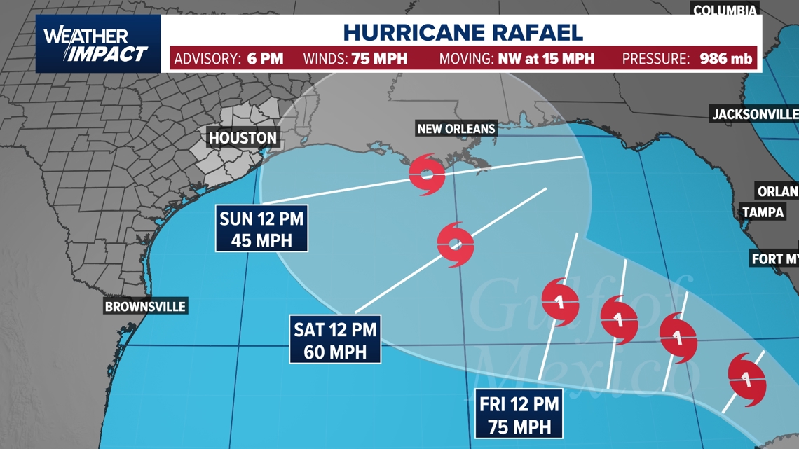
According to the National Hurricane Center, Rafael is expected to bring hurricane-force winds along with a dangerous storm surge as it crosses Cuba and moves into the Gulf. Then, as the system moves toward the northern Gulf of Mexico, it is expected to weaken back down to tropical storm force.

RELATED: 2024 Hurricane Preparedness Guide
Fortunately, the current forecast from the National Hurricane Center shows the storm weakening as it moves into the Northern Gulf of Mexico. The reason for this is cooler waters and high wind shear -- a result of the jet stream being farther south.

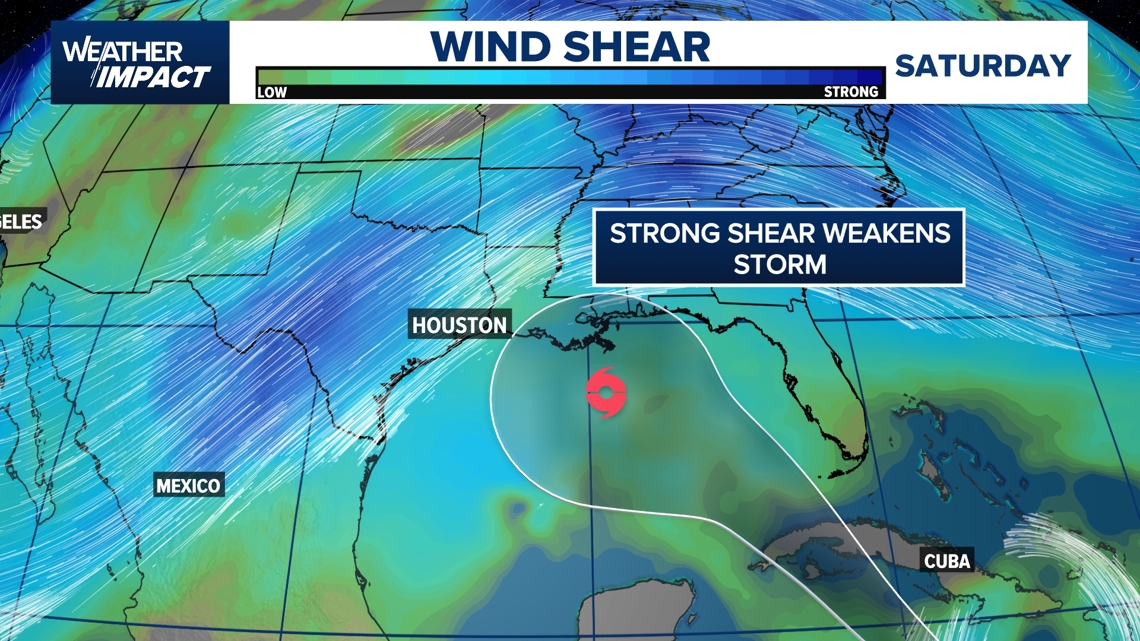
Still, Rafael could be an impactful storm for a portion of the Gulf Coast and will need to be monitored over the coming week.
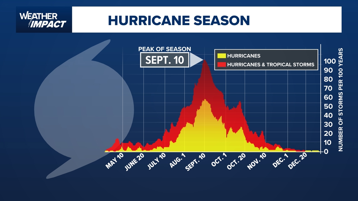
While November is well past the peak of hurricane season, it’s not too rare to have a tropical storm or hurricane. According to data from the National Hurricane Center, there have been 125 'November' tropical storms or hurricanes active in the Atlantic basin since 1861,

KHOU 11 will track Rafael and will post any updates as the system develops.

