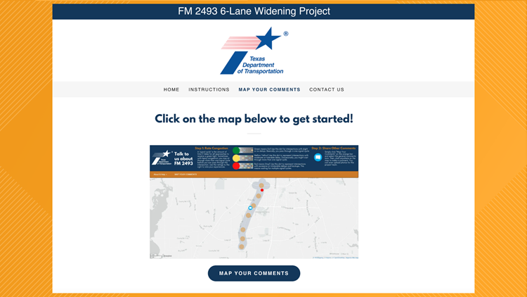
TYLER, Texas — The TxDOT Tyler District has launched an interactive mapping exercise that will allow the community to have direct input on the FM 2493 6-Lane Widening Project.
"The community’s participation is critical to help move this project forward," TxDOT said in a press release. "The Tyler District hopes its interactive, online mapping exercise is an easy tool for everyone to use and looks forward to receiving feedback."
The map will record experiences and feedback by allowing users to provide input directly onto an interactive map that shows the proposed study area for FM 2493, commonly known as Old Jacksonville Highway, from Loop 323 to FM 2813.
The purpose of the widening proposed project is to improve mobility and safety along the corridor through additional travel lanes, upgraded intersections and raised medians.
To develop solutions for Old Jacksonville Highway, TxDOT wants to hear from the public to generate ideas for possible solutions for the growing congestion on FM 2493.
The online mapping exercise allows users to comment in two different steps:
Step 1 affords the opportunity to rate congestion at major intersection locations on FM 2493. The interactive map provides for the selection of a congestion rating, mapping the location, and answering a few questions.
Step 2 provides the opportunity to share general comments about the corridor with an associated mapped location. The online mapping exercise has clear directions on how to “MAP YOUR COMMENTS” with a pop-up screen and the option to upload a photo related to the comment. To view the interactive online mapping exercise, click here.


