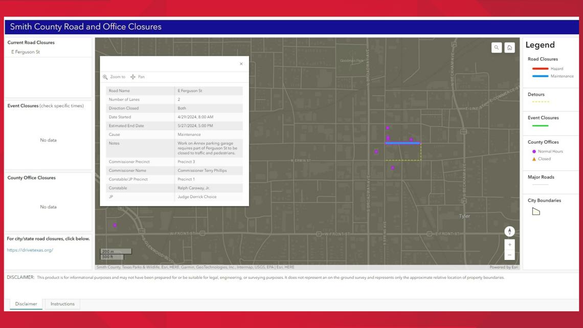
TYLER, Texas — Smith County has launched a new interactive map for residents to see what roads are closed due to hazards like flooding or construction.
The map, which can be found here, became available on Wednesday, May 15. It allows people to see what detours can be taken and how long the road closures could last. County office closures will also be a part of the map.
Smith County GIS Analyst Ethan Robinson, who created the map, said this new service is meant to compliment the public service announcements that the county already puts out.


According to the announcement, the map will assist Smith County’s Emergency Management Office, Road and Bridge Department, dispatch law enforcement and other first responders.
“This will aid emergency management in our service to the community by providing near real-time information to our citizens during disasters,” Smith County Emergency Management Coordinator Brandon Moore said. “By allowing each citizen to access this platform the individual can plan accordingly during disasters by utilizing information provided by county and first responder personnel.”
The map can also be found at smith-county.com by clicking the button called “County Road and Office Closures,” under the Citizen Resources section.
It only shows county road closures, not city roads, highways or Farm-to-Market Roads. But the bottom of the map directs users to drivetexas.org for city and Texas Department of Transportation closures.
The closure of Ferguson Street, which is a city road, is on the map because it's affecting Smith County offices.

